

Satellite overlays for Lowrance fish finders
See the whole dam before you cast.
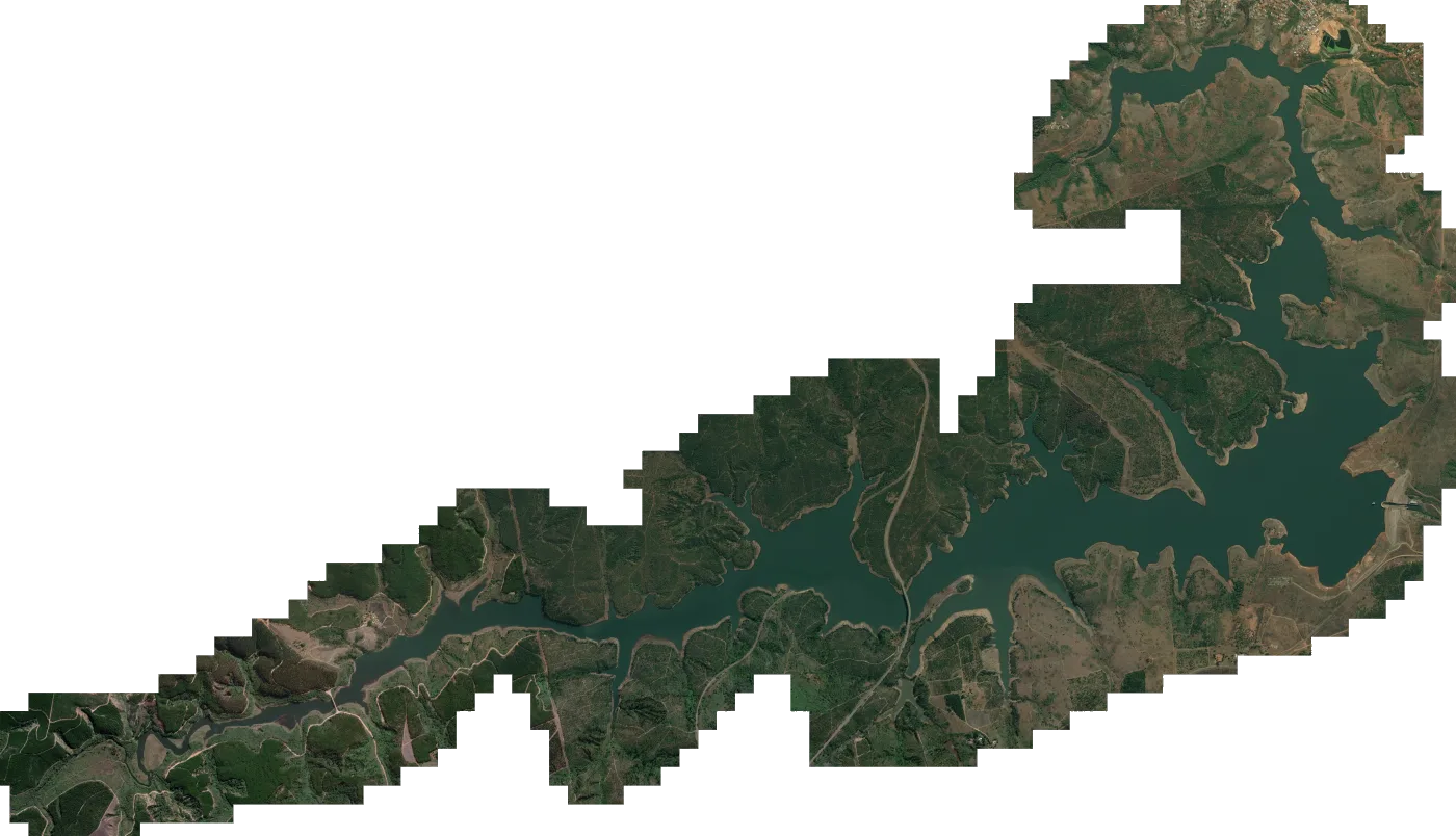
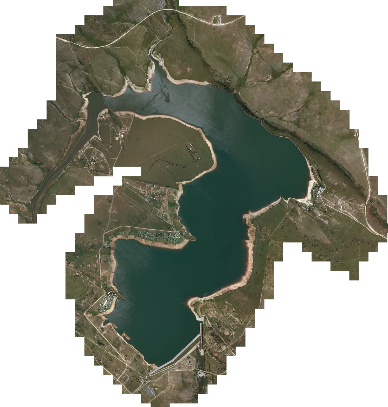
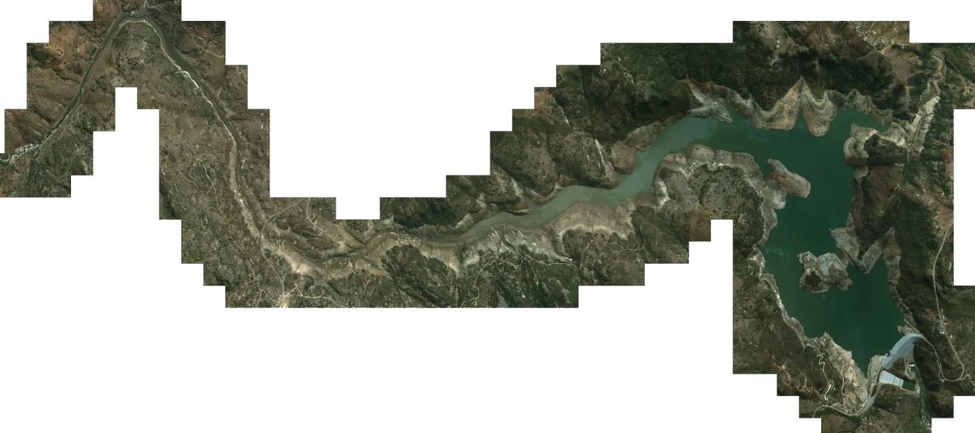
Mapster brings satellite imagery of your dam directly to your compatible Lowrance fishfinder. Simply load the map onto a microSD card, insert it into your unit, and see your boat's live GPS position overlaid on the imagery - helping you explore the dam and plan your next cast.
- Dams mapped
- 57
- Countries
- 4
- Per map
- R750
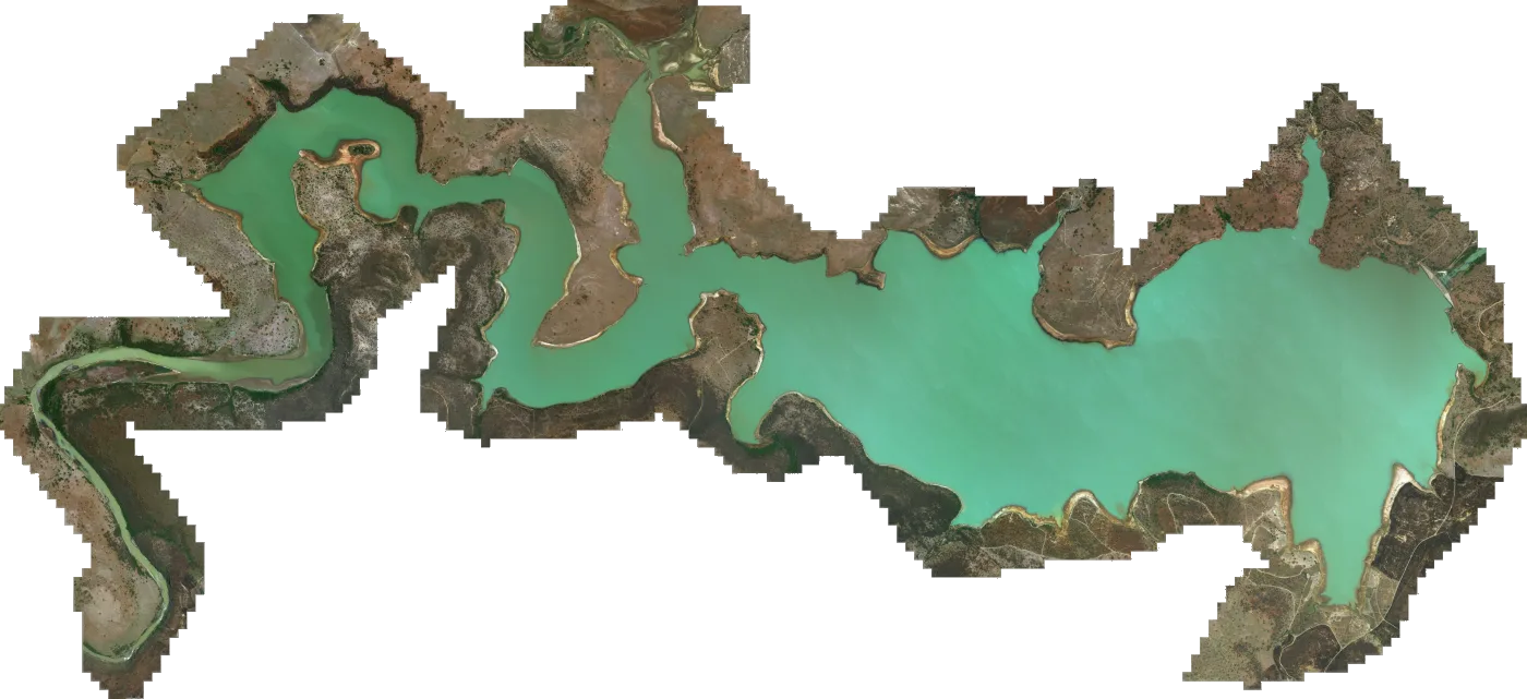
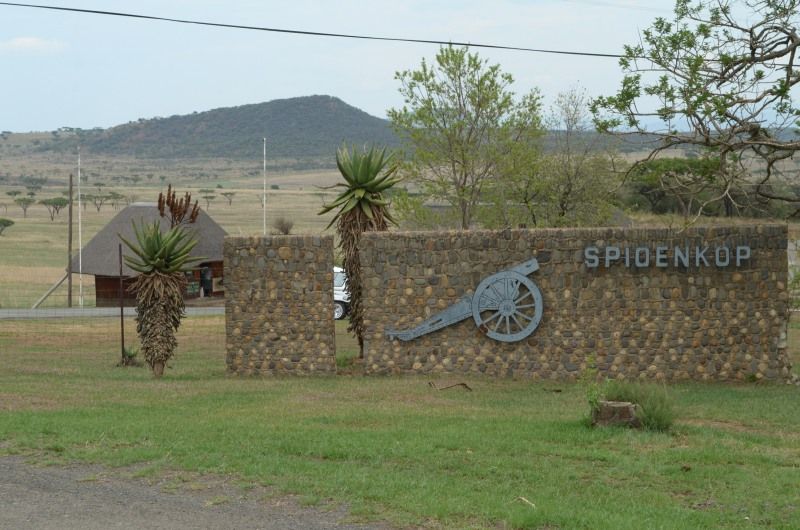 Spioenkop Dam
South Africa · R750
Spioenkop Dam
South Africa · R750
What is Mapster?
The dam itself, on your chart
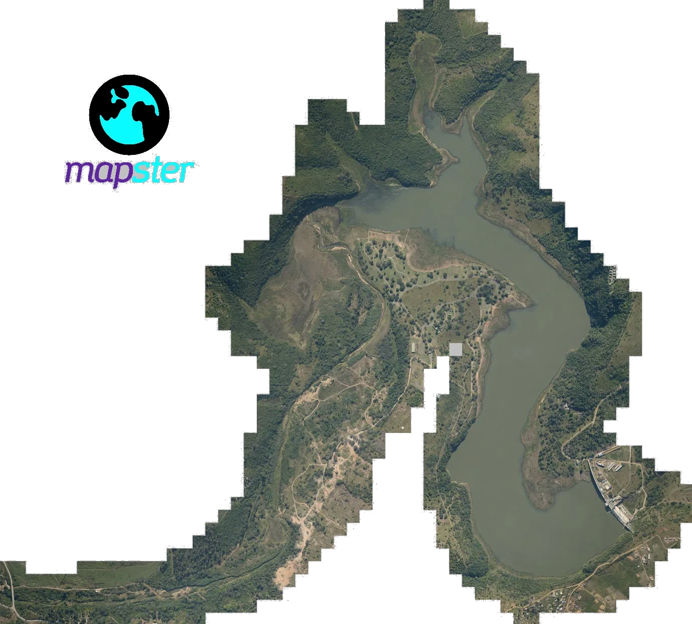
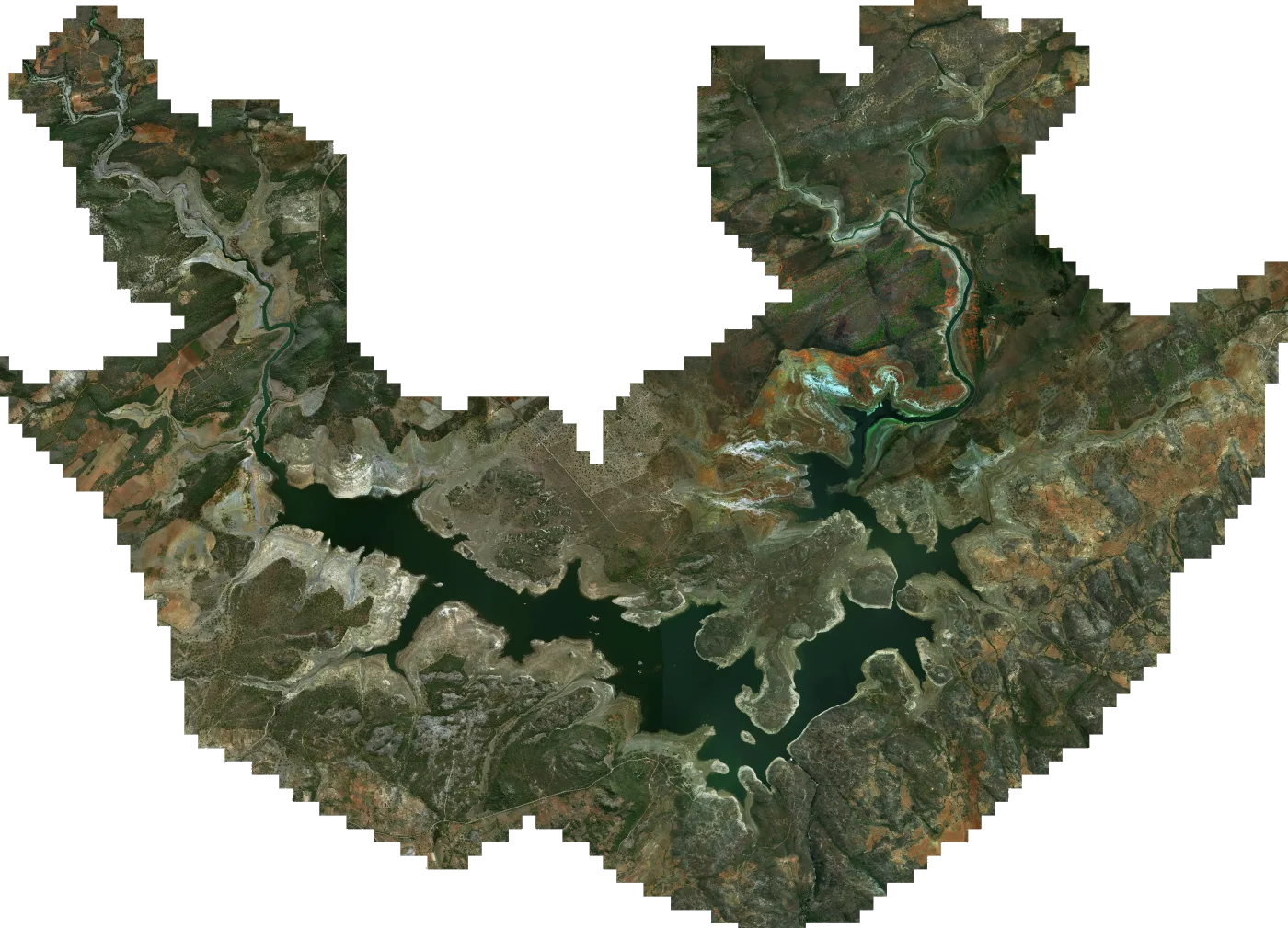
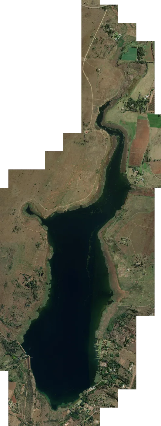
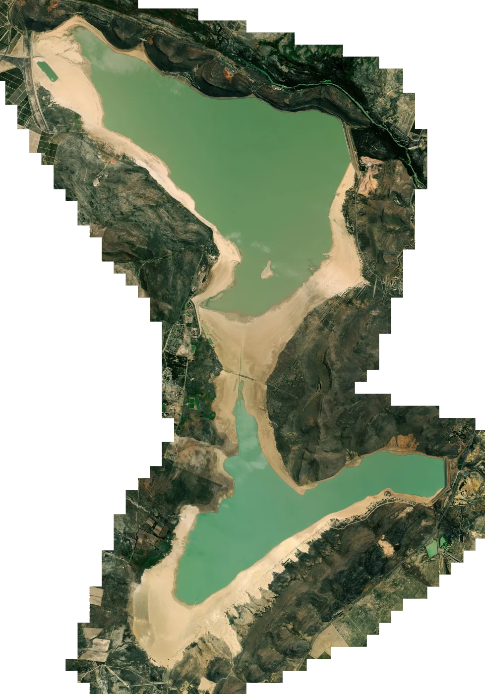
On most fish finders, our dams show up as little more than a blue outline with nothing inside it. A Mapster map fills that outline with high-resolution satellite imagery of the actual dam, prepared as a chart overlay for your Lowrance. The points, bays, inlets and shoreline you'd see from the air are right there on your screen, and your boat's GPS position moves across the picture as you fish.
The map lives on a microSD card in your unit, so it works without cell signal out on the water. Download it and copy it onto a card of your own, or add our SD card at checkout and we'll post it to you with every map on your order already loaded.
Where we've mapped
57 maps across Southern Africa
Tap a pin to open that dam's map. If your water isn't here, you can send us a custom map request.
From the catalogue
Dam maps for Lowrance fish finders
 South Africa
Satellite
South Africa
Satellite
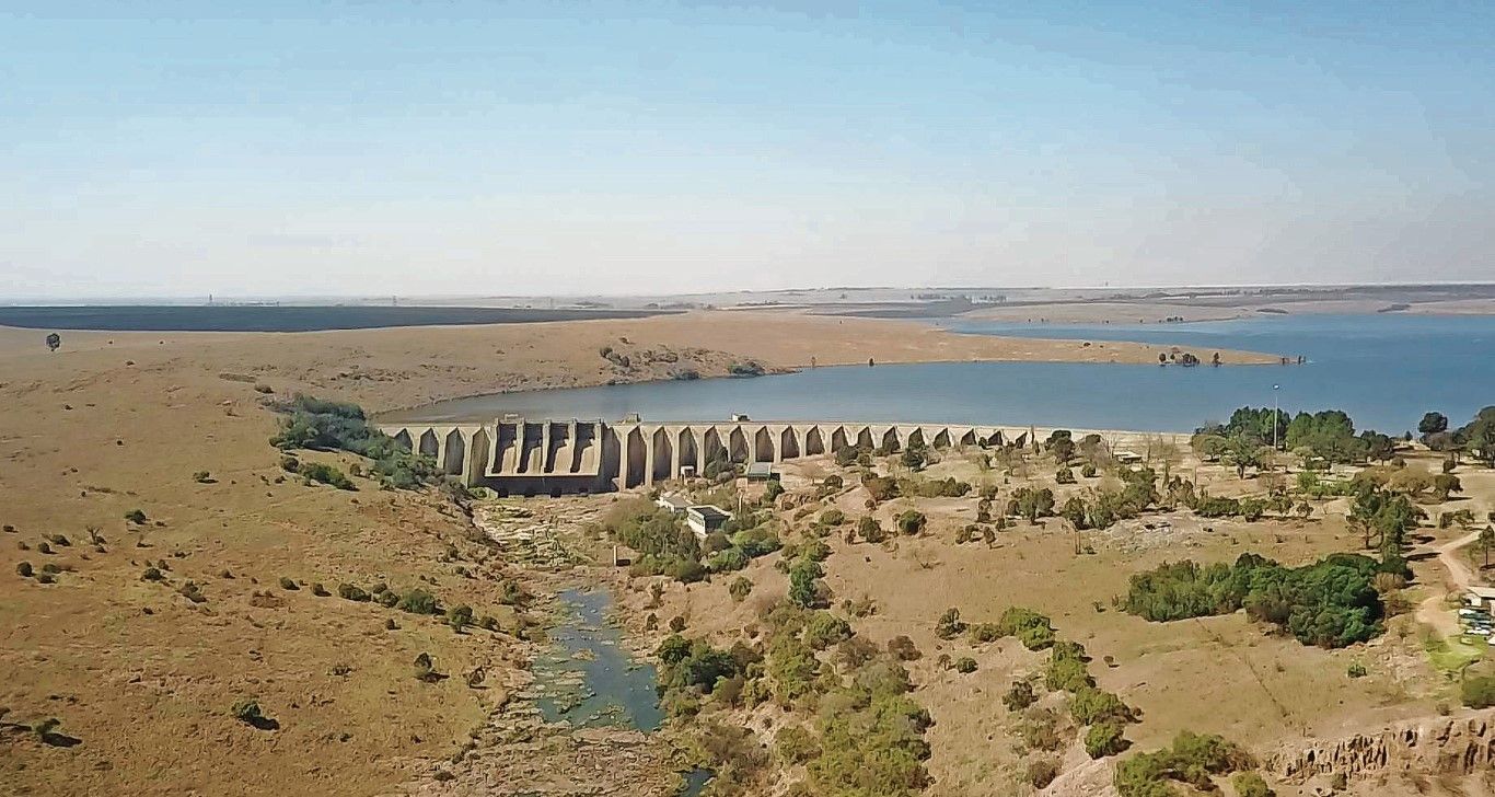
Witbank Dam
R750South Africa
 South Africa
Satellite
South Africa
Satellite
Vanderkloof Dam
R750South Africa
 South Africa
Satellite
South Africa
Satellite
Hazelmere Dam
R750South Africa
 Zimbabwe
Satellite
Zimbabwe
Satellite
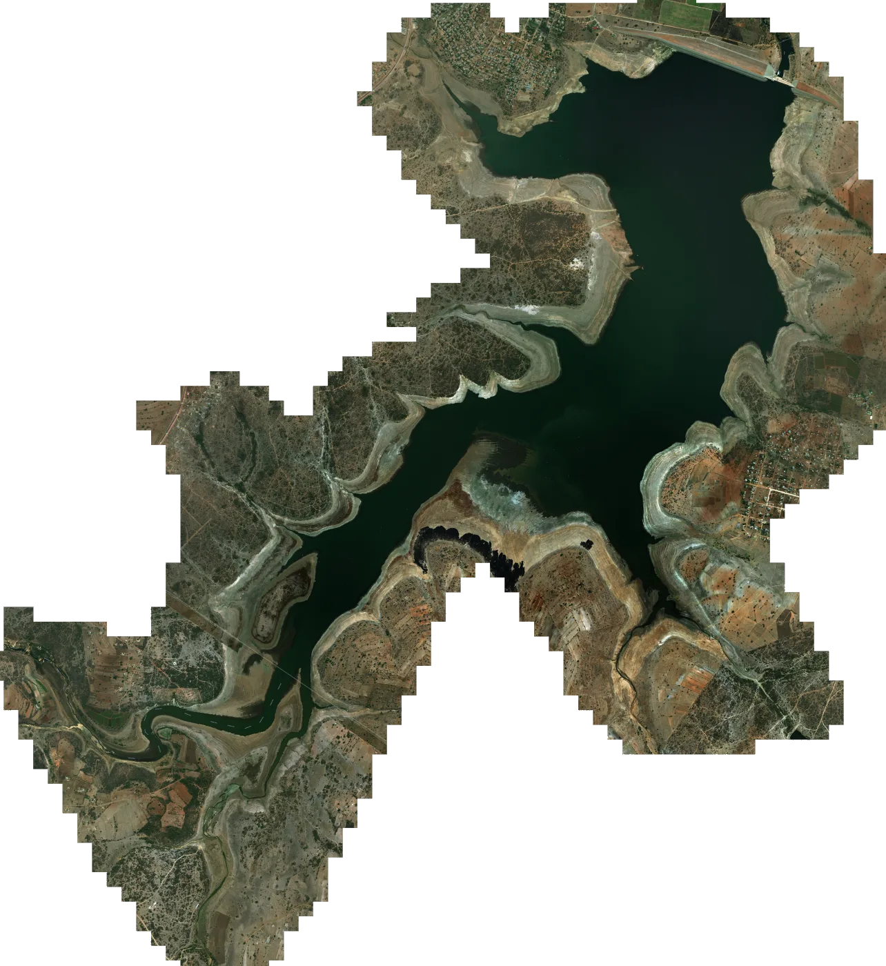
Lake Mutirikwi (Formerly Lake Kyle)
R750Zimbabwe
 South Africa
Satellite
South Africa
Satellite
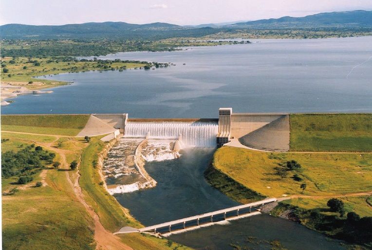
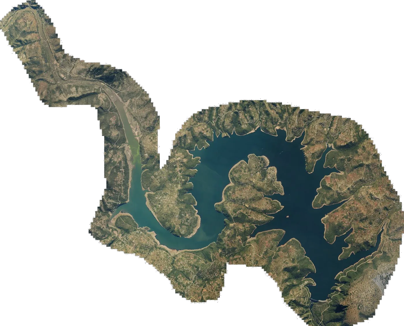
Driekoppies Dam
R750South Africa
 South Africa
Satellite
South Africa
Satellite
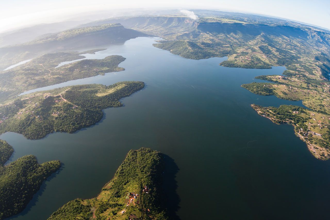
Inanda Dam
R750South Africa
 South Africa
Satellite
South Africa
Satellite
Boskop Dam
R750South Africa
 South Africa
Satellite
South Africa
Satellite
Kwaggaskloof Dam
R750South Africa
How it works
From your basket to your Lowrance in four steps
-
1
Choose your dams
Add as many maps as you like to your basket, at R750 each. For water we haven't mapped, send a custom map request.
-
2
Pay on PayFast
You pay in rand on PayFast's secure page, so we never see your card details.
-
3
Get your download links
Once PayFast confirms your payment, we email a download link for each map. If you added the SD card, we post that too.
-
4
Load it onto your unit
Copy the map onto a microSD card, put it in your Lowrance and choose the map from the chart menu. Menu names vary between models.
Download
R750 a map
Once PayFast confirms your payment, we email you a download link for each map. Each link works for 30 days and allows 5 downloads per file.
Choose a damSD card by PostNet
+R350
One 32GB SD card per order, carrying every map in that order. We post it PostNet-to-PostNet to the branch you choose, with postage included, and you still get the download links.
How delivery works →Custom maps
Fish a water we haven't mapped?
Farm dams, club waters, rivers and lakes in other countries are all welcome. Drop a pin on the water, tell us which Lowrance you run, and we'll email you a quote.
- Any dam, lake or river, in any country
- A quote by email before you pay anything
- Delivered as a download or on an SD card
Compatibility
The Lowrance units our maps load on
If your unit isn't in one of these ranges, please ask us before you buy.
Questions